Trust Your Bearings: Paper Maps and Compasses on Digitally Mapped Alpine Trails

Explore how a reliable paper map and a well-practiced compass turn digital trail lines into confident decisions above treeline. Learn to read contours, manage declination, and blend offline apps with analog certainty so changing weather, dead batteries, or drifting GPS never silence your ability to navigate safely, deliberately, and enjoyably across complex alpine terrain.

See the Mountain, Not Just the Map

Screens can show a bright line, yet the land tells a deeper story in contours, cliffs, ridgelines, and subtle folds that change with aspect, wind, and snowpack. Develop the habit of lifting your eyes, aligning terrain with paper, and then confirming with digital aids, so every decision reflects reality instead of pixels or wishful thinking.

Follow a Bearing with Confidence

Point the orienting lines to map grid north, align the edge to your start and destination, set the bezel, and transfer the bearing to the terrain. Pick intermediate targets to keep accuracy high in poor visibility. Pace-count, time-check, and verify with altimeter readings so your steps, minutes, and elevation triangulate reality even in a swirling white blur.

Fix Your Position with Triangulation and Resection

When uncertain, take compass sightings on two or three identifiable features—maybe a notch, prominent peak, or radio mast—and back-bear them onto the map to find your location. If only one landmark is clear, use a bearing plus a contour-defined altitude for a strong fix. This quick routine dissolves doubt and restores purposeful, calm movement.

Orienting Digital Views to the Real World

Disable auto-rotate and align your phone’s map to match your paper sheet and the landscape. Cross-check grid references, coordinate format, and datum so bearings and waypoints agree. When the screen shows you north-up but the valley funnels your view south, physically rotate both resources together, preserving a shared frame of reference your brain can trust under pressure.

Offline Strategy, Batteries, and Redundancy

Pre-download high-resolution topo layers for the full route and bailouts. Pack a warm battery bank in an inner pocket, switch devices to airplane mode, and dim the screen. Stash a printed map segment for every critical leg. With this layered approach, your phone becomes a situational amplifier rather than a single point of failure waiting to surprise you.

Sanity-Checking GPX Lines Against Reality

Treat GPX tracks as hypotheses, not guarantees. Overlay slope shading, avalanche terrain exposure scales, and recent satellite imagery to spot suspect traverses or corniced ridges. Compare with contours on paper, ask yourself why the line goes exactly there, and adjust to safer ground. Curiosity before commitment prevents blind faith from becoming a costly rescue call.

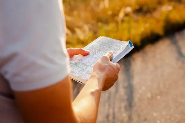
Blending Apps with Old-School Certainty

Digital maps shine for planning variants, checking satellite imagery, and logging progress, yet they benefit from a paper backstop and a compass bearing that ignores signal drift. Use both intentionally: turn lines into decisions, not directions, and let each tool audit the other so your plan remains resilient when conditions refuse to match the screen.

Micro-Navigation Above Treeline

In alpine country, tiny choices compound: five degrees off in a whiteout can land you beneath a cliff band or on a loaded lee slope. Hone precise foot-by-foot tactics, letting terrain clues, altimeter checks, and disciplined bearings knit together a safe corridor through exposure, spindrift, and rapidly shifting light.

Reading Ridges, Bowls, and Cornices Safely

Ridges offer visibility and drainage but can hide cornices that overhang the leeward void. Bowls concentrate wind and snow, steepening with subtle contour clues. Track aspect with your compass, feel the wind on your cheek, and compare with bulletin notes. Let paper and senses agree before committing, then move deliberately with escape lines preplanned in your head.

Whiteout Tactics and Emergency Decisions

In featureless gray, lock onto a bearing using close visual targets, switch leaders frequently, and confirm progress with timing, pacing, and altitude checks. If confidence drops, stop early, reassess under shelter, and consider a conservative retreat along a known handrail. Pride is lighter to carry down the valley than regret in worsening weather above exposure.

Preparation that Pays Dividends

Good days in the high country start at the table, not the trailhead. Select the right map, mark bearings, sketch bailouts, and align your digital resources. When everything is packed and cross-checked, you carry less doubt, move more smoothly, and keep energy for joy rather than avoidable corrections.

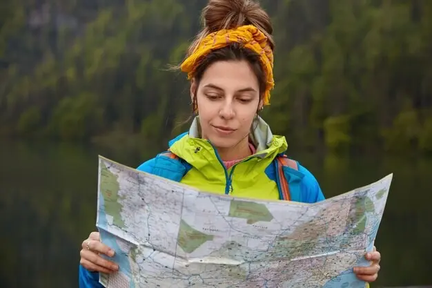
Choose the Right Map and Make It Mountain-Proof

Pick a scale that fits the terrain: 1:25,000 for intricate glacier approaches, 1:50,000 for longer linkups. Print custom segments, laminate or use a waterproof case, and fold along logical legs. Highlight bearings, handrails, and backstops in pencil, then stash a spare copy sealed with a tiny silica packet to fight damp pack air.

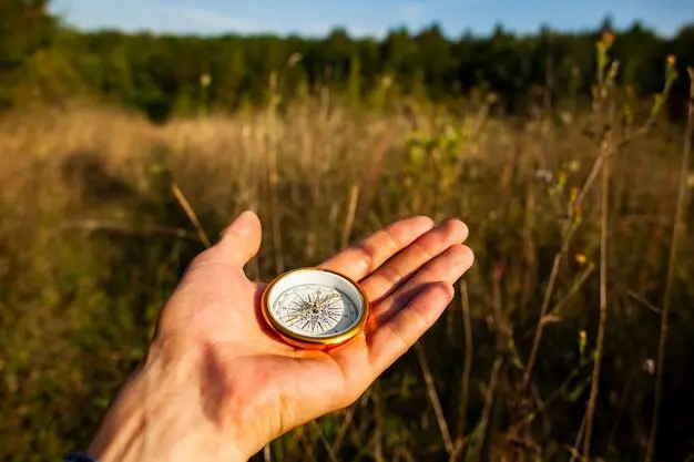
The Compass You Actually Need

Look for a baseplate compass with adjustable declination, clear grid lines, and a steady needle. A sighting mirror doubles as emergency signaling, while a clinometer helps read slope angles. Practice at home until adjustments feel automatic, because freezing wind at a notch is a terrible classroom for learning which dial you meant to twist.

Weather, Avalanche Info, and Plan B

Gather regional forecasts, read avalanche bulletins deeply, and note wind directions that create slabs on your intended aspects. Pre-choose retreat options and lower-angle detours, then store them both on paper and offline digitally. When reality diverges, pivot early with confidence, because an elegant backup becomes heroic only to those who never saw the risk forming.

The Day Resection Saved Our Descent

After a sudden squall erased our landmarks, one glimpse of a serrated ridge tooth and a distant microwave tower gave two back-bearings. On paper they crossed exactly above a safe gully. Five minutes later, altimeter agreed, phones stayed pocketed, and we walked into clearing skies feeling grateful for a fast, practiced skill that never asked for battery percentage.

When a Perfect Blue Line Led to Trouble

A downloaded GPX hugged a lee slope beneath a corniced crest. Paper contours and slope shading screamed risk, but the line looked efficient. We rerouted along a windward rib, slower and louder underfoot, yet utterly sane. That evening, fresh crowns glittered across the original line. Curiosity and analog checks turned a seductive shortcut into a story, not a headline.

Join the Conversation and Share Your Wisdom

What bearing tricks guide you in swirling snow? Which handrails saved a sketchy night out? Share experiences in the comments, subscribe for practical walkthroughs, and send questions for future deep dives. Your hard-won notes could become the checkpoint someone else needs when the mountain asks for careful thinking and unshakeable fundamentals.

Zeraravofexolaxi
Privacy Overview

This website uses cookies so that we can provide you with the best user experience possible. Cookie information is stored in your browser and performs functions such as recognising you when you return to our website and helping our team to understand which sections of the website you find most interesting and useful.